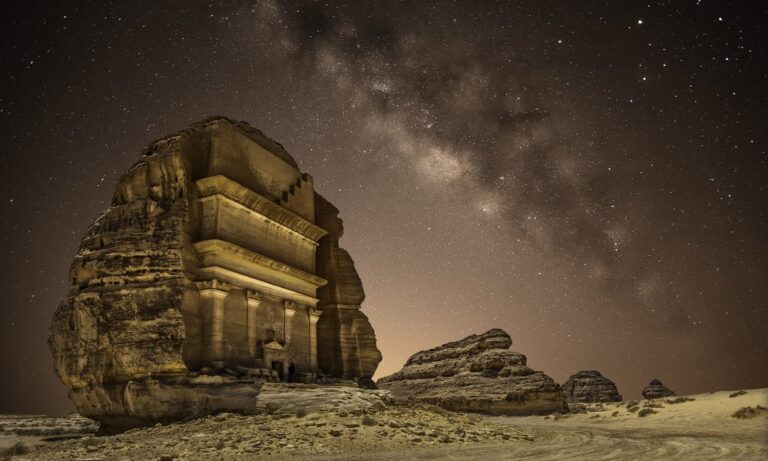


If you search on the world map for what are known as “permissible areas,” you will find among them the name of the Bartazouga Triangle, which is a small area located between Egypt and Sudan. The two countries refuse to claim the region due to the dispute over the Halayeb Triangle, as Egypt considers the 22° parallel line to be the border separator between Egypt and the de facto annexation of the Halayeb Triangle, while Sudan considers the Halayeb Triangle within Sudan and claims it. The region represents a trapezoid whose long side is 95 km long, its northern edge is tangent to latitude 22° north, and its southern side is 46 km long. Its length ranges from north to south between 31 km and 26 km, and its area is 2060 km2. It is the only region in which the administrative line of 1902 passes south of the political border of 1899, contiguous with latitude 22° north. The region was placed under Egyptian administration because at that time it was a pasture for a group of Ababda stationed near Aswan, while the Halayeb Triangle is located north of latitude 22° north and was placed under Sudanese administration because the inhabitants of that region at that time were an extension of groups mostly stationed in Sudan. The area of Bir Tawil is one tenth of the area of the Halayeb Triangle, which is internal land, and the two areas touch at one point. To the north of the area is Mount Tawil, which has a height of 459 metres, to its east is Mount Hajar al-Zarqa, which has a height of 662 metres, and to its south is Wadi Tawil (also known as Khor Abu Burd). Local sources in the area indicate a permanent military presence in the area, and Bedouins in the area tell of underground equipment dating back to the year 1987.
The reason for the confusion between the two countries
Egypt claims the 1899 political borders contiguous with latitude 22° north, which places the Halayeb Triangle within the Egyptian borders and Bir Tawil within the Sudanese borders, while Sudan demands the 1902 Administrative Boundaries Agreement, which places the Halayeb Triangle within the Sudanese borders and places Bir Tawil within the Egyptian borders. As a result, both countries claim Halayeb while neither of them claims Bir Tawil, and there is no basis in international law upon which either country can claim both regions at the same time, which makes this region the only one that is not claimed by any country in the world, i.e. what is known conventionally as terracotta, and it is difficult – if not impossible – for any country other than them to claim sovereignty over the region because it is confined between Egypt and Sudan.
Yellow Mountain Kingdom
This permissible land did not wait long before it found someone to claim its right to it. An American woman of Lebanese origin sparked widespread controversy after she announced the establishment of what she called the “Kingdom of the Yellow Mountain” in the region, amid official silence from Egypt and Sudan. Mrs. Nadra Awad Nassif, from the city of Odessa in Ukraine, appointed herself Prime Minister, after a “summit” that she said was held there to declare the kingdom. She said in Arabic: “The Kingdom of the Yellow Mountain will be a model country… because our cause is to find a solution to the crisis of the displaced and displaced. We will fulfill the dream of every Arab who thinks about a way to help the displaced.” People have previously claimed to have established states in that region, which was announced on Thursday as the Kingdom of Yellow Mountain. The most notable of these was an American man named Jeremy Heaton in July 2014 who claimed ownership of it and called it the “Kingdom of North Sudan,” according to an interview conducted with him by the BBC at the time.
Reasons for the silence of the two countries
According to logic calculations, each country claims that this land does not belong to it, and therefore the objection of either of them to the launch of the Kingdom of the Yellow Mountain will be considered an implicit acknowledgment of the dependency of that land on it, which is what both countries are trying to show, as if the new changes are taking place in a land that does not belong to them because of both of them’ adherence to the historical right of the Halayeb and Shalateen triangle, which is contiguous at one point with the Bartazuga triangle. By virtue of the “Sudan Agreement”, signed in 1899 between Egypt and Britain (as they were in charge of dual rule in Sudan at that time), the word Sudan was applied to all lands located south of the 22nd parallel north, and Egypt relied on that agreement in establishing its sovereignty, which placed the Halayeb Triangle within the Egyptian borders and placed the Bartazuga region within the Sudanese borders. While Sudan attributed an administrative decision, in 1902, to its right to Halayeb and Shalatin, as the Egyptian Interior Minister at that time issued this decision, based on the presence of some tribes with a Sudanese dimension in the region, and Egypt did not object to this decision with the independence of Sudan and did not reserve the borders, which is the decision that places the Halayeb Triangle within the Sudanese borders and places Bir Tawil within the Egyptian borders.