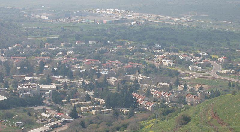
Merom Golan…the first Israeli settlement established in the Golan – Wikipedia
“The Syrian plateau is in our hands.” With this brief statement, the Israeli army announced on June 10, 1967, the occupation of the Golan Heights, located between the Yarmouk River to the south and Mount Hermon to the north, and administratively affiliated with the Syrian Quneitra Governorate. An Israeli statement recognizing beyond a reasonable doubt the occupied Syrian Golan.
Its location and headquarters
The Golan Heights is located 60 km west of the Syrian capital, Damascus. Its total area is estimated at 1,860 km2, and it extends over a distance of 74 km from north to south, without its maximum width exceeding 27 km. From the west, the plateau overlooks Lake Tiberias and Marj al-Hula in the Galilee. To the east, the Raqqad Valley, which extends from the north near Taranja, towards the south until its mouth in the Yarmouk River, forms a border known as separating the Golan from the Hauran plains and the Damascus countryside. From the north, the course of Wadi Saar – at the foothills of Mount Hermon – forms the northern border of the Golan, as it extends between Baniyas – the sources of the Jordan River – to the upper part of Wadi Raqqad to the east. The southern border is formed by the winding course of the Yarmouk River, which separates the Golan Heights and the Ajloun Plateau in Jordan.
Geography of the Golan
The Golan has a geological peculiarity, as the rocks scattered on its surface are basalt rocks resulting from volcanic eruptions. Scientists divide the geological history of the Golan into the “Cartastic” period (65-135 million years ago), when it was covered by limestone rocks that appear in the Mount Hermon region, then the “Okneid” period (44-50 million years ago) when the sea flooded parts of the region, forming limestone rocks. Then the water receded to the west to return again in the “Late Okneid” period (35 million years ago), coming this time from the east, i.e. the Gulf. Arab, as shells and remains of marine organisms appear in the layers of the earth dating back to that period. During the Miocene period (25 million years ago), the water receded again, and two layers of soil were formed: a crumbled yellow layer that spreads south of the Golan, and a layer up to 250 meters thick, whose composition varies from one region to another. 5 million years ago, a sea tongue was formed that extended from the Haifa area to submerge part of the Golan. Lakes and rivers with non-salty water were formed. Volcanic eruptions began in the southern Golan 4 million years ago, then gradually spread to the north and east. Sometimes separated by a few days and sometimes hundreds of thousands of years. According to radiological tests, the last volcanic eruption in the Golan occurred 4,000 years ago, in the northeast of the Golan. The Golan today is a “dormant” volcanic area that may become active one day.
History of the Golan
Throughout history, the region has been dominated by multiple civilizations. At the end of the third millennium BC, it was controlled by the Amorites, or Amalek, who arrived in that period to central Mesopotamia and Syria in large waves from the Arabian Peninsula, and their control continued until the emergence of the Arameans, who, as is believed, came from southern Arabia to establish stable agricultural groups, states, and ruling families in Syria. The name Golan was mentioned before Islam. The Arabs used to give the name Golan to a mountain in the Levant called Mount Golan. It was part of the Arab Ghassanid emirate, who ruled in southern Syria and lived and left traces there that spread throughout many parts of Syria, perhaps the most famous of which is Qasr al-Hayr. In the Old Testament, the name Golan is mentioned in the Book of Deuteronomy and in the Book of Joshua as one of the three cities of refuge located across the Jordan River, to which those who killed a person inadvertently and feared retaliation would seek refuge (Deuteronomy 43:4, Joshua 8:20). Josephus Flavius (ca. 37-100 AD) describes the Golan region in his book “The Wars of the Jews,” and mentions two battles that took place there: a battle between the Jewish king Alexander Yanai of the Hasmonean and the Nabataean Arab king Ubadah, and a battle between the rebellious Jews and Roman soldiers in the city of Gamla (ca. 70 AD).
The Golan in the 20th century
The Golan Heights were within the borders of Mandatory Palestine when the British Mandate was officially recognized in 1922, but Britain ceded the Golan to France in the Franco-British Agreement of 7 March 1923, and the plateau became part of Syria when the French Mandate ended in 1944. When the international border was drawn in 1923, the Golan remained within the Syrian borders, based on the Sykes-Picot Agreement (with minor modifications) between Britain and And France, which occupied the Levant from the Ottoman Empire after World War I. After the establishment of the French Mandate authority over the Levant, France decided to divide the Mandate region into two political units – Syria and Lebanon – and the mountains north of the Golan (Mount Ross, Mount Hermon and others) defined the borders between the two countries, but the French authorities did not draw the borders between Syria and Lebanon accurately because they were considered internal borders, which raised disputes and problems between the two countries when each of them gained independence from France, as the French borders became international borders, and these problems still exist in the Shebaa Farms area and the village. Gypsy and even became complicated following the repercussions of the Israeli army’s occupation of the Golan Heights in 1967.
The Israeli occupation of the Golan
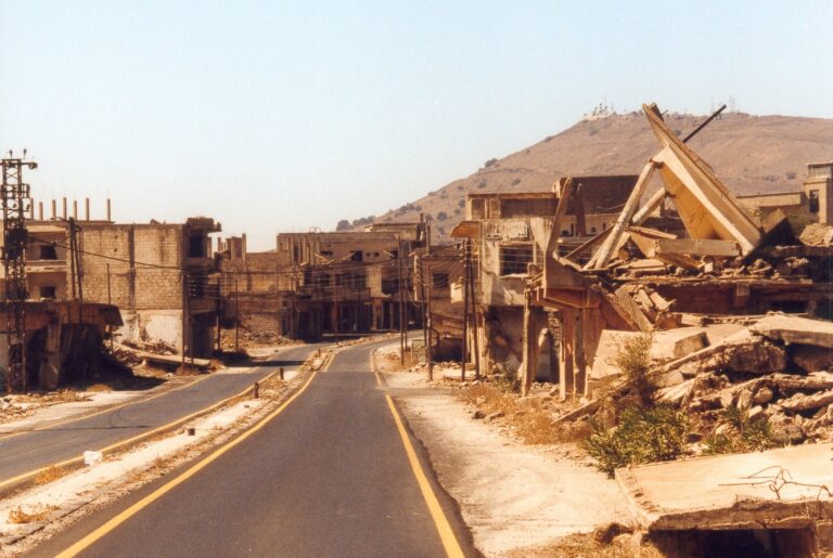
On May 15, 1967, the conflict between Israel and Egypt escalated and quickly deteriorated into a regional crisis. On June 5, 1967, the 1967 war broke out between Israel and Syria, Jordan, and Egypt. In the first four days of the war, fire was exchanged between the Syrian and Israeli armies, without ground attacks, except for a failed attempt, by a Syrian tank force, to enter Kibbutz Dan. On June 9, 1967, after the end of the battles on the Egyptian and Jordanian fronts, the Israeli army invaded the Golan and occupied 1,260 square kilometers of the plateau, including the city of Quneitra. All residents of Quneitra were displaced from their homes following the occupation, and took refuge inside Syrian territory, and many residents of the Golan villages were also displaced from their homes and farms, but the residents of the Druze villages northeast of the Golan remained under Israeli control. As for the residents of the Alawite village of Ghajar, they remained in an area abandoned between the Israeli army and Lebanon, and after several weeks they turned to the Israeli military governor to take care of them when they began to suffer from malnutrition. In October 1973, the October War broke out, and the region witnessed violent battles between the Syrian and Israeli armies. During the war, the Syrian army regained an area of 684 km2 of the plateau for a few days, but the Israeli army reoccupied this area before the end of the war. In 1974, Israel returned to Syria an area of 60 square kilometers of the Golan, including the city of Quneitra, its environs, and the village of Al-Rafid, within the framework of the disengagement agreement. Some of its residents returned to this part, with the exception of the city of Quneitra, which is still destroyed. In recent years, the area adjacent to Quneitra has witnessed remarkable population growth and urban and economic activity, but entry to some areas adjacent to the armistice line remains prohibited according to the instructions of the Syrian authorities, except with a special permit. In December 1981, the Israeli Knesset decided to annex the occupied part of the Golan, west of the 1974 armistice line, to Israel in a unilateral manner and in opposition to international resolutions.
The current political situation
The 1923 borders are still the international borders recognized by the international community, but both Syria and Israel are demanding that they be changed. Syria is demanding that the borders be returned to their state on June 4, 1967, considering some of the lands located between the international border and the Jordan River Valley as Syrian territory, and it also claims the northeastern part of Lake Tiberias (Security Council Resolutions 242 and 338). The United Nations still refers to the Golan Heights as “occupied Syrian territory,” while Israel officially demands recognition of the annexation of the Golan to its territory, which is contrary to international resolutions. On some occasions, Israel declared its readiness to withdraw from the Golan within the framework of a peace agreement with special security arrangements. During the Israeli Cabinet session on September 8, 1994, then Prime Minister Yitzhak Rabin hinted that the withdrawal from the Golan would take place within the framework of a peace agreement similar to the peace treaty between Israel and Egypt, that is, a gradual withdrawal accompanied by the normalization of relations between Syria and Israel and special security arrangements, but the Israeli-Syrian negotiations at that time reached a dead end. There were contradictory reports about Benjamin Netanyahu’s willingness to resume negotiations on the Golan, while Ehud Barak took the initiative to resume negotiations under American auspices and proposed to Syrian Foreign Minister Farouk al-Sharaa in the Shepherdstown talks in January 2000 to withdraw to the international border (the 1923 borders) in exchange for special security arrangements and the normalization of Israeli-Syrian relations, but these discussions stopped without either side officially explaining the reason for that.
The Israeli annexation decision
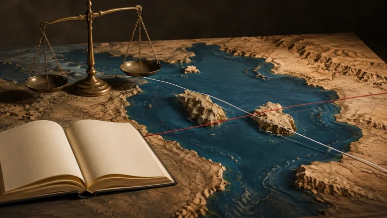
On December 14, 1981, the Israeli Knesset decided in the so-called “Golan Law”: “to impose Israeli law, justice, and administration on the Golan Heights.” The map attached to this decision indicates the area between the international borders of 1923 and the armistice line of 1974 as the area subject to it. The international community did not recognize the resolution and it was rejected by the United Nations Security Council in Resolution No. 497 on December 17, 1981. United Nations documents refer to the Golan region as the “occupied Syrian Golan,” and Arab media and some other international organizations also refer to it by this name. The Security Council affirmed in its resolution that the seizure of lands by force is unacceptable under the United Nations Charter and considered Israel’s decision null and void and without legal effectiveness at the international level. He called on it, as an occupying power, to immediately rescind its decision. However, the Security Council did not impose sanctions on Israel due to the decision to annex the Golan. In practice, the “Golan Law” led to the abolition of military rule in the Golan and the transfer of its authority to regular civilian authorities. The existing situation in the region did not change significantly after 1981, as the “Golan Law” approved the policy that Israel had implemented since 1967. The area of the region that Israel annexed is 1,200 km2, from the area of Syria within 1923 of 185,449 thousand km2, which is equivalent to 0.65% (the number must be written correctly) of the area of Syria, but it represents 14% of its water reserve before June 4, 1967. The Golan is the source of a third of the waters of Lake Tiberias, which represents the primary water source for Israel and the Palestinian territories. The Israelis covet the Golan Heights because they see great importance in controlling it because of its strategic location. By simply standing at the foot of the plateau, the observer can cover the northeast of occupied Palestine (today’s Israel) with the naked eye thanks to its relative height. The same applies to Syria, as the heights also reveal Syrian territory up to the outskirts of the capital, Damascus.